Subdivision Mapping
Any time land is subdivided into legal lots or parcels, it must be done in accordance with the requirements as set forth in the Subdivision Map Act. In addition, there are local city or county ordinances that further restrict the development design. The developer or owner must be aware of these requirements for a successful project. Fortunately, the staff at Muir Consulting, Inc. has extensive knowledge in Subdivision Mapping. We have successfully completed projects throughout California, taught university level classes pertaining to the Subdivision Design, taken advanced classes in regard to the Subdivision Map Act, and have worked closely with cities and counties to develop their requirements.
Tentative Map
The first step in land subdivision is a Tentative Map. The Tentative Map shows the governing agency the true intent of the subdivider. This map may show the topography, proposed property lines, existing boundaries and easements, grading and drainage issues, existing and proposed utilities, and other required items dictated by state and local law. No project can proceed without approval of the Tentative Map and our staff has the experience to prepare these maps in such a way to maximize the approval process.

Parcel Map / Final Map
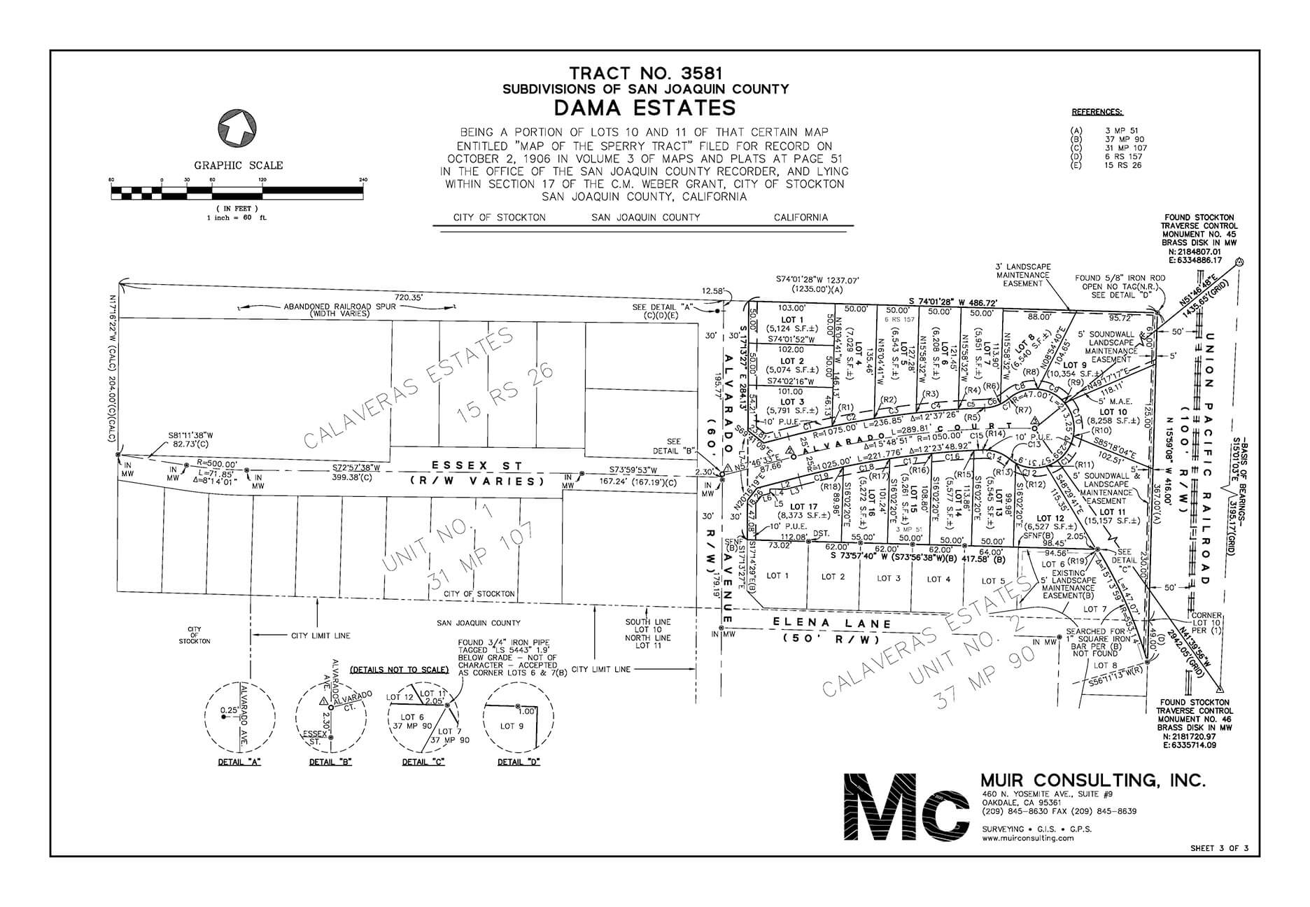
Upon approval of the Tentative Map, depending on the number of lots or parcels and zoning requirements, a Parcel Map or Final Map is required. This is the instrument that subdivides the property into legal lots. This map is based on a Boundary Survey and shows the detailed information that is needed to properly delineate the new parcels or lots. Again, our expertise dealing with public agencies allows a smooth work flow for project completion in a timely manner and economical fashion.
Lot Line Adjustment / Parcel Merger
Often a project does not require the creation of any new lots, simply an adjustment of existing lots or a merger of parcels. The Subdivision Map Act allows an exemption for such circumstances called a Lot Line Adjustment. We have completed simple Lot Line Adjustments for boundary disputes as well as complicated Lot Line Adjustments in coordination with large projects.
Local ordinances often have applications for Parcel Mergers, combining two or more parcels into one. However, these are most often done with the Lot Line Adjustment process, making one of the lots a "zero" lot line.
