Surveying Services
Muir Consulting, Inc. is dedicated to providing our clients with quality surveying support for their residential, commercial, or public projects. Whether it be a small boundary line dispute or providing mapping services to a large utility company, Muir Consulting, Inc. consistently delivers an economical product in a timely manner. We believe that our most important client is you, and that we shall treat all our clients the same, with the utmost professionalism and integrity that you deserve.
Professional Land Surveying Services:
Lot Line Adjustments / Parcel Mergers
Boundary Survey
A survey for the purpose of determining property corners, lines, and/or easements. By law, whenever a boundary survey is performed, a licensed land surveyor shall file either a Record of Survey or Corner Record with the County. Our land surveyors have a reputation for performing thorough and detailed boundary surveys, as well as the experience of being expert witnesses, when needed.
Learn more about Boundary Surveys
Topographic Survey
A survey, often used by architects or engineers, locating both man-made and natural features. Such features include buildings, improvements, fences, trees, walkways, streams, contours, etc.
Learn more about Topographic Surverys
Learn more about Boundary & Topographic Surveys
.jpg)
ALTA / NSPS Land Title Survey
For commercial real estate transactions, often a lender will require that a survey be performed to the standards as set forth by the American Land Title Association and the National Society of Professional Surveyors. Our staff has performed hundreds of ALTA surveys for our clients.
Learn more about ALTA/NSPS Land Title Surveys
Construction Staking
Construction staking establishes the correct location of buildings, structures, or improvements based on plans. We work closely with contractors, project managers, civil engineers, and architects to make sure the project is built correctly and on time.

Subdivision Mapping
To subdivide property into smaller parcels, the professional surveyor must prepare maps in conformance to local ordinances and the Subdivision Map Act. Our expert land surveyors can take your project from concept to the final map.
Learn more about Subdivision Mapping
Condominium Mapping
Muir Consulting, Inc. is the industry leader in condominium mapping of both condo conversions and new construction. In order to properly tie the three dimensional airspace to the boundary, detailed mapping of both the inside and outside must be performed. Exhibits are created for CC&R creation and DRE submittal requirements and mapping must be performed to subdivide into units.
Lot Line Adjustments / Parcel Mergers
As an exemption to the Subdivision Map Act, lot lines can be adjusted and parcels can be merged, as long as no new lots are created. Local agencies determine the process that the owner must go through, always requiring the services of a licensed land surveyor.
Learn more about Lot Line Adjustments / Parcel Mergers
Easements / Right-of-Ways
An easement is an interest in land owned by another person. Muir Consulting, Inc. first project was preparing easements and right-of-way documents for the telecommunications industry. Since that time, we have prepared hundreds of easements for our clients.
Learn more about Easements / Right-of-Ways
Elevation Certificate
Elevation certificates are required to be prepared by a licensed land surveyor in order to obtain flood insurance. Our staff has performed flood certification surveys throughout California for elevation certificates and Letters of Map Amendment (LOMA).
Environmental Surveys
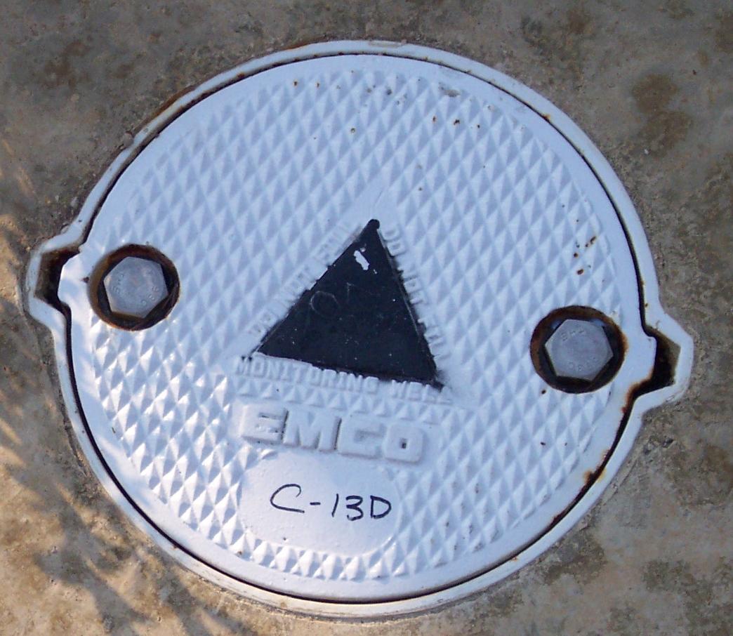
Surveys to determine the location of monitoring wells, soil bores, vapor wells, and other monitoring devices. Often surveys need to be performed to GeoTracker specifications. Muir Consulting, Inc. delivers a "turn key" product for state required electronic submittal.

Infrastructure Monitoring
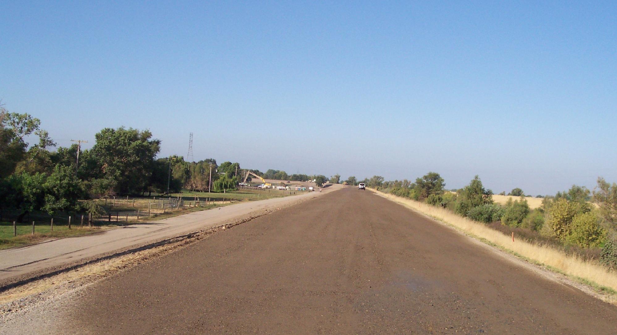
Dams, buildings, bridges, and other infrastructure need monitoring for three-dimensional movement for public safety and structural damage. Using high precision survey equipment and GPS, Muir Consulting, Inc. can obtain the accuracies and specifications needed for monitoring such structures.
